Mapping Project of Land Use in the Amazon

eyesonsuriname
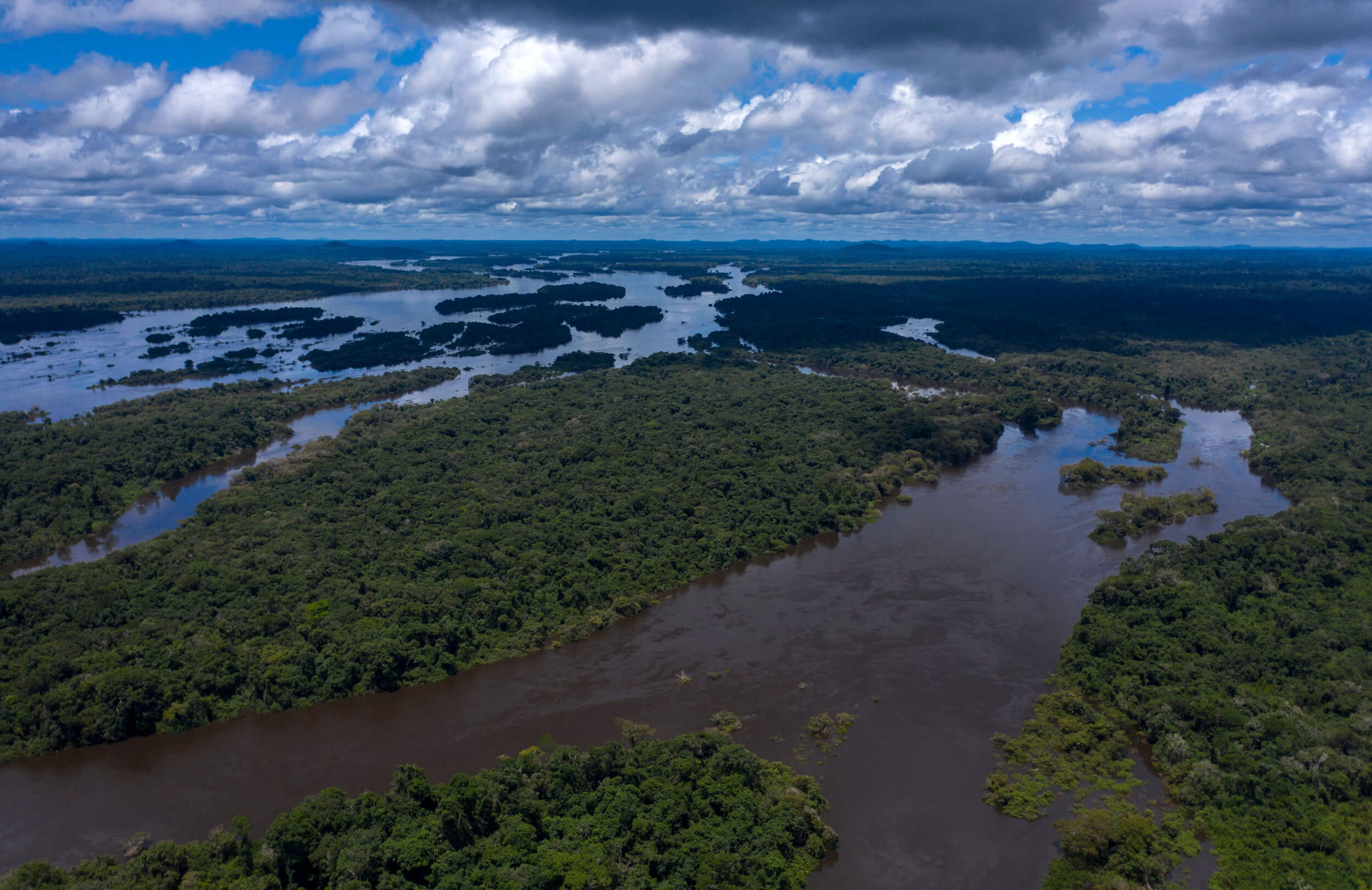
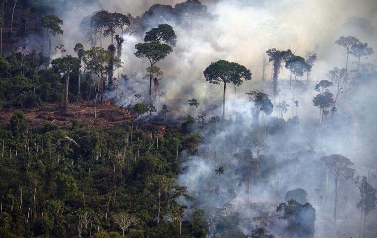
According to a report issued Monday March 14th of this year by the Fire Monitor, an initiative of the Annual Mapping Project of Land Use and Land Cover in Brazil (MapBiomas) in partnership with the Amazon Environmental Research Institute (IPAM), the Amazon biome concentrated 90% of its areas with fires, representing 487,000 hectares.
In the first two months of 2022, the area totaled 654,000 hectares. In the country’s six biomes – Amazonia, Caatinga, Cerrado, Atlantic Forest, Pampa, and Pantanal – there were fires over 536,000 hectares.

IPAM researcher Vera Arruda explained that the area was 28% smaller than that recorded in the first two months of 2022. Although seasonal rains favor the reduction of fires, “many hectares are burned in a period of more rain,” explained Arruda, who is a member of the team issuing the Fire Monitor.
Another particularity of the season is the high rate of occurrences in Roraima. The survey showed that the fires in the state consumed 259,000 hectares.
“There is a type of vegetation there that is more similar to the Cerrado. It’s not just forests, like most of the Amazon,” Arruda went on. In the states of Mato Grosso and Pará, the fire has reached areas of 90,000 and 70,000 hectares, respectively. If combined with Roraima, they account for 79% of the fires detected by the team.

The Cerrado biome is second on the list, with 24,000 hectares affected by fire. Arruda also said that the vegetation has adapted to the presence of fire.“The fire that happens, nowadays, in recent years, is no longer the fire that would naturally occur in the vegetation, because it would occur more by the presence of lightning. That is, more between the seasons.
More or less, from May to July. And we see that, in fact, the fire in the Cerrado is concentrated at the peak of the dry season, between August and September, which are the most critical months for fire in the Cerrado. Most of the fire in the vegetation comes from anthropogenic, human origin, it’s not of natural origin,” she insisted.

“Furthermore, even fire that would occur naturally would occur in a spaced manner would not burn the same area, over and over again. What we see, with the Monitor data, is that the frequency of burned areas in the Cerrado is also increasing. This does not allow the vegetation, the ecosystem to recover,” she went on.
eyesonsuriname


![New 225 us$ Bond issued by the World Bank 9-year Bond for funding reforestation in [ Brazilian ] Amazonia](https://eyesonsuriname.com/storage/2024/08/Carbon-Removal-and-Capture-150x150.webp)

